
Trace Chicopee Streets by Address
Start a Chicopee street search with the exact physical address, not a surname. That keeps every later result tied to one parcel. First check delivery geography if needed, then locate the parcel in the Chicopee GIS and assessor record. The tax record gives the owner of record and map-block-lot. The Registry turns that owner and parcel data into a deed trail. A municipal voter request or dated street listing can add a resident layer, but neither should be treated as a list of every person at the address.
Write down the date shown by each Chicopee system. The assessor’s owner date can lag a new deed, and a directory or voter street list is only evidence for its own date. A deed image may use a legal description instead of a familiar street number. Parcel ID, plan references, and book/page details help bridge those differences.
- Enter the Chicopee address in the GIS or Vision assessor search and record the situs, PID or map-block-lot, listed owner, mailing address, and date.
- Use the GIS result to zoom to the Chicopee parcel and pan along the street for the next parcel.
- Search the listed owner in the Hampden Registry as a grantee, with Chicopee selected where the interface permits.
- Open the deed image and follow the grantor, or seller, backward as a prior grantee.
- For a dated resident layer, request the appropriate Chicopee voter record or consult the History Room’s street listings and directory index.
Chicopee Street Directory Vision Search
The Chicopee Vision assessor database provides the most direct parcel entry points: Street Address, Owner Name, and Map-Block-Lot. Its FY2026 data states that values are effective January 1, 2025, while legal owners are stated as of May 1, 2025. That distinction matters on a street directory search. The listed legal owner is a dated tax-record fact, and the tax mailing address is not proof that the owner occupies the Chicopee situs.
Use the precise address first. If a record returns, retain the exact spelling of any trust or entity and the parcel identifier. For a current-owner question that may postdate the Vision record, call the Chicopee Assessor at 413-594-1430 and compare recent Registry recordings. The assessor card supports a title and tax trail, not a complete household roster.
The Chicopee Vision assessor database shows the address, owner, and map-block-lot paths used in this street directory workflow.
The result supplies the starting parcel facts, which need a recorded-deed check before a Chicopee ownership conclusion is treated as current.
| Chicopee field | Address use |
|---|---|
| Street Address | Finds a physical Chicopee parcel. |
| Owner Name | Finds a legal owner of record, including a trust or entity. |
| Map-Block-Lot | Links the assessor card to GIS and title research. |
| FY2026 date | Shows the tax-data context, not a same-day occupancy fact. |
Chicopee Street Directory GIS Map
The Chicopee Interactive Public GIS searches owner name, address, or parcel ID. City instructions say a less detailed term can work better for a street, so a search for a base name may be useful when a full street suffix fails. Click a result to zoom, close the summary when needed, and pan along the street. Layers can add zoning, conservation, historic-property, or aerial context, and Map Gallery includes Google Hybrid.
City parcel, ownership, and zoning layers are stated as updated January 1, 2025. The GIS disclaimer is important: the map locates and inventories property but is not a legal description or a substitute for a survey. Use it to build a parcel-by-parcel worksheet, then use the deed image for title wording.
The Chicopee Interactive Public GIS shows why nearby parcels are the working units of a street search.

A street name identifies the route; the Chicopee PID and parcel boundary keep each result attached to the right land record.
Note: Zoning or historic layers explain parcel context, but they do not identify private household members or delivery customers.
Chicopee Deed Chains by Street
The Hampden County Registry of Deeds is the recorded-land layer behind a Chicopee street address. Its search interface offers name, document, book, property, recorded-date, unindexed-property, and registered-land search modes. Use name searching when the assessor identifies the current owner. Use the town control for Chicopee and a narrow recorded-date range where it helps. A deed’s grantor is commonly the earlier owner, so search that party as a prior grantee to move backward.
Read the image rather than relying only on an index row. Record the instrument type, parties, recording date, book/page or document number, legal description, plan references, and any stated terms that identify the parcel. A legal description may use lot, block, bounds, or plan language instead of a modern Chicopee street number. That is why map-block-lot and abutting-parcel context matter.
The Hampden recorded-land search is the official online route for this title step.
Registry images connect a Chicopee parcel to recorded parties and title details, not to an automatically complete list of residents.
Chicopee Registry Depth for Streets
Hampden’s online access has a useful depth split. The Registry About page states recorded-land document indexes from 1948 to the present, images from 1636 to the present, and plan indexes from 1902. The FAQ says computer indexes are online from 1966 and that records date to 1731. Preserve those separate statements when a Chicopee street history reaches beyond a simple name search.
Newly recorded documents are abstracted, scanned, checked, and generally made available online within minutes, according to the Registry FAQ. Older books require a different method: unindexed property search, microfilm, public terminal, or help at the Registry counter. The Springfield office, Westfield satellite, phone, mail, and email channels are the fallback when the web result is not old enough or is unclear.
For a Chicopee instrument needed as evidence, the Registry can provide a certified copy at the counter. Registry staff offer ministerial help with the system, not legal advice or a title opinion. A complete title question can also require probate, bankruptcy, tax-lien, survey, or other records outside the land index. Treat the Registry sequence as the recorded-land layer, then document each additional source separately.
Chicopee Permit Records by Address
Building and permit records supply another Chicopee address layer. The city’s Online Permits and Licenses System includes Building and Fire permits, with building, electrical, gas, plumbing, and certificate-of-occupancy activity. Issued permits are available through a no-login view. Application, payment, and sign-off paths can require an account, while the Building Department keeps an in-person public kiosk at 115 Baskin Drive.
Permit evidence can date construction, alteration, inspections, or an occupancy event. It should be read as an address-specific record, not as proof of everyone who lived there. The city does not state the earliest online year. For an older Chicopee property, ask the Building Department or the relevant Records Access Officer for archived material; in-person application and payment remain available.
The Chicopee online permits and licenses system is the official route for current issued-permit access.
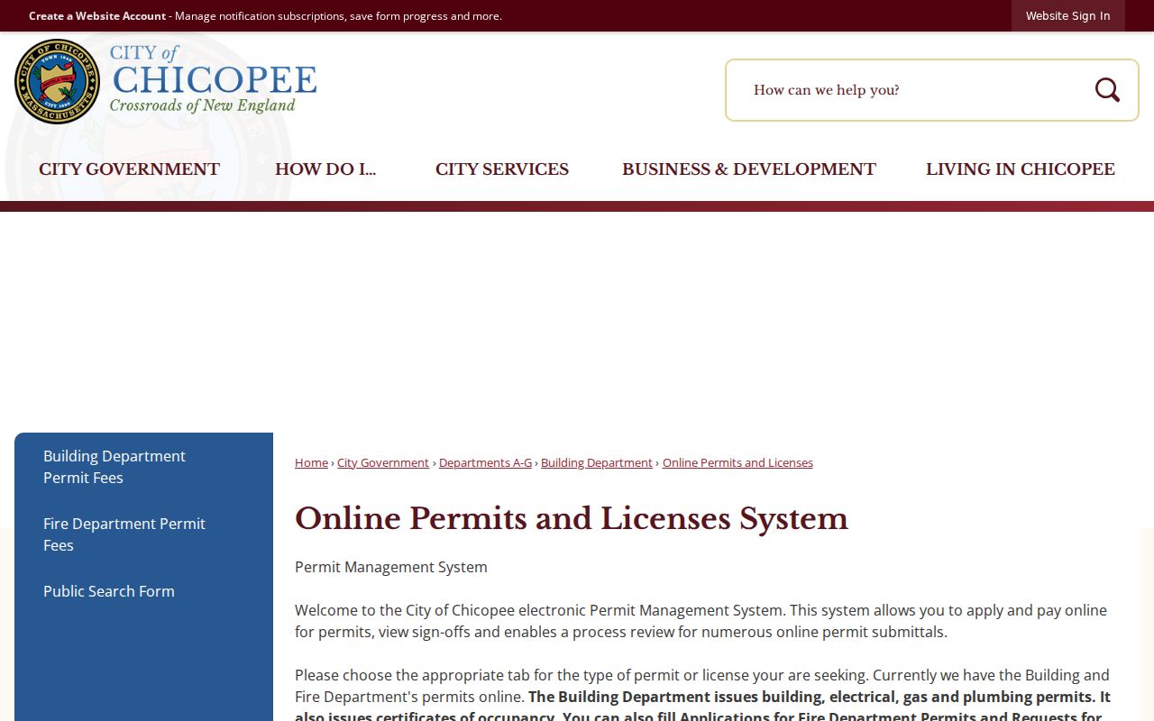
The permit system complements the Chicopee parcel and Registry sequence by adding a dated municipal event at the address.
Chicopee Records Along Streets
Address-keyed sources work as a chain rather than a single Chicopee street directory. The assessor and GIS identify the parcel. The Registry supplies title parties and legal descriptions. Permits attach municipal activity to an address. A municipal voter request can provide permitted registration information, and the History Room’s street listings supply historical, year-specific names. The source and its date determine what the result can fairly establish.
For current Chicopee voter material, ask the City Clerk and Board of Registrars at 17 Springfield Street, 413-594-1466, for the specific list and record date. The city accepts public-records requests in person, by first-class mail, fax, or email through the responsible department. The statewide self-status form remains only for the individual voter, not a street-name lookup.
| Chicopee address record | What it shows | Custodian | Access |
|---|---|---|---|
| Vision assessor card | Owner of record, situs, mailing address, values, map-block-lot | Board of Assessors | Free database; owner date warning |
| Public GIS | Parcel placement, PID, record-card link, zoning and historic context | Planning/GIS | Free viewer; informational map |
| Recorded land | Deeds, mortgages, liens, plans, grantors and grantees | Hampden Registry | Online, counter, terminal, microfilm |
| Issued permits | Construction, inspection, and certificate evidence | Building Department | No-login issued view; kiosk or request |
| Voter street lists | Dated listed or registered-voter layer | Clerk/History Room | Current municipal request; historical room holdings |
Chicopee Street Directory History
For past occupants, the Chicopee History Room has street listings from voter lists from 1939 forward and city directories that begin in 1875-76. The archive’s 1875-76 “Streets, Etc.” material describes streets by junctions and endpoints, then leads to name pages. This is an address-first historical path, not a substitute for the current municipal voter-request process.
Search the street index first, then confirm a person in the alphabetic entry. Preserve the printed street form, village label, initials, and abbreviations. The digitized directory collection reaches through 1933, while later listed print runs are held in the History Room. The historical collections and their year gaps are detailed on the Chicopee city directory.
The History Room also has 1855-1916 maps, the 1915 Chicopee Sanborn map, local newspapers, yearbooks, and historical-home vertical files. Call or email before a specialized visit because the local-history librarian may not be available during normal open hours. Fragile materials may not be copied, but the collection can supply the address context that a modern parcel card lacks.
Chicopee Village Address Context
Chicopee street research should preserve older place labels. Chicopee Center or Cabotville, Chicopee Falls, Willimansett, Aldenville, and Fairview can identify the same city through different historical language. No official source reviewed for Chicopee documents a citywide renumbering date. Bridge an unfamiliar number with the 1855-1916 local maps, street index, parcel ID, plan references, and legal description instead of assuming a number conversion.
The West End is a useful example of record geography. The city plan describes roughly 190 acres between the Connecticut River, Chicopee River, and Center Street, divided by I-391, with much of its building stock predating 1940. In that area, Sanborn maps, old directories, permits, and deeds may overlap strongly, but each still needs to be dated and read on its own terms.
Chicopee Street Record Terms
Several address terms keep a Chicopee address search accurate. A parcel is the municipal land unit used by the assessor and GIS. Situs address means the physical parcel location. A mailing address is where tax correspondence goes and may be different. A legal description is the deed or plan language that identifies land even if a street number changes.
- Map-block-lot or PID
- The Chicopee parcel identifier used to join assessor and GIS research.
- Grantor and grantee
- The party transferring land and the party receiving it in a recorded instrument.
- Plat or plan
- A recorded map that can identify lots, blocks, and subdivision relationships.
- Criss-cross directory
- An address-first directory arrangement used to locate a dated listing before checking the name pages.
Chicopee Street Directory Limits
A Chicopee street search cannot reveal every household member. Assessor data identifies a tax-record owner, not all occupants. Deeds identify title parties. Voter records identify registered voters under Massachusetts rules, not every resident, and confidential voters are withheld. USPS confirms delivery geography, not a person’s presence. Motor-vehicle addresses, utility accounts, delivery data, and protected court addresses are outside ordinary street research.
Use a Chicopee street directory for lawful personal research, family history, estate questions, property context, or civic records. Do not infer a person’s residence from an owner mailing address or a single historical listing. If a source is restricted or does not answer the question, leave that gap intact and ask the proper custodian about lawful access.
Note: The absence of a name from an address record can reflect privacy protection, record purpose, timing, or an index limitation.