
Chicopee ZIP Code Directory Coverage
Three ZIP codes appear in Chicopee USPS routing material: 01013, 01020, and 01022. The first two have current Chicopee post-office facilities. The third is a Chicopee-associated legacy routing code whose current use depends on the individual address. That distinction matters when a Chicopee ZIP code directory is used to organize a family-history search, a property question, or a mailing-address check. Postal labels describe delivery service. They do not draw a municipal line and they do not establish who occupies a parcel.
| ZIP | Chicopee delivery reference | Post-office evidence | Record-search note |
|---|---|---|---|
| 01013 | Chicopee Center, Cabotville, and central-city delivery context | Chicopee Center Post Office, 100 Center St. | Confirm the particular street address with USPS. |
| 01020 | Chicopee delivery geography | Chicopee Post Office, 28 Main St. | A delivery ZIP is not a ward or parcel boundary. |
| 01022 | Chicopee-associated routing history | No current facility claim made here | Use current by-address verification before relying on it. |
Chicopee Center, Chicopee Falls, Willimansett, Aldenville, and Fairview are city and historical place labels, not a guaranteed postal division. Older directories may use Cabotville or a village label instead of a modern delivery label. Keep the printed form in research notes, then compare it with the address and parcel rather than silently replacing it.
The Chicopee ZIP code directory works best as an address-verification aid. A complete street address may yield one current delivery result, while the same area is described in a nineteenth-century directory by a street endpoint, a village, or a business name. The parcel ID and legal description bridge those forms more reliably than the postal code. This is especially helpful when a family record gives only an old city or village reference.
01013 in the Chicopee ZIP Code Directory
USPS identifies the Chicopee Center Post Office at 100 Center Street with ZIP 01013. That facility reference makes 01013 a sound starting point for an address in the central Chicopee delivery area, but it is not proof that every nearby record shares the code. A directory entry may use a village name, while a deed may use only a legal description and a tax record may use the owner's mailing address.
For address work, preserve the street number and the original village wording first. Then use the current postal result to check the ZIP. If the question becomes parcel by parcel, the Chicopee street directory follows the address through the local property and title records without turning the ZIP into the parcel identifier.
01020 and Chicopee Mail Delivery
The Chicopee Post Office at 28 Main Street is associated with ZIP 01020. Its facility listing documents mail, PO-box, and general-delivery services, but service at a post office is different from a claim about the bounds of 01020. A Chicopee ZIP code directory can show the code attached to an address, yet a GIS record remains the better source for parcel location and municipal layers.
Use the ZIP as a way to check a mailing address, especially where an old directory, obituary, or correspondence supplies only an abbreviated location. For a historical record, also keep the street, city, and village label. Chicopee's river and mill-village history means nearby records can use different place terms even when they relate to the same modern city.
Chicopee ZIP Code Routing Has Changed
USPS Postal Bulletin material from 2022 and 2023 lists 01013, 01020, and 01022 in Chicopee label and scheme changes, including consolidation to a Chicopee 01013 label. This routing quirk in the Chicopee ZIP code directory means a static list can preserve an older relationship long after a street needs a fresh check. It does not show that the city boundary, every street, or every historic address changed at the same time.
When a past record carries 01022, retain it as evidence of the printed address and run the current street address through USPS before sending mail or using it to narrow another search. The same rule applies to a number that seems to disagree with a map. Delivery codes and historical record labels can change while the parcel trail uses a stable legal description.
Note: A current postal result checks delivery geography, not whether a named person receives mail or lives at that address.
USPS Fields for a Chicopee ZIP Code
The official USPS ZIP Lookup offers three useful modes. An address can return a ZIP, a city and state can return ZIP choices, and a ZIP can return city names. The address mode is the one to use before comparing a Chicopee property record with a postal address. It cannot supply a resident roster or confirm that a particular person or organization is at the location.
| Lookup mode | Input | Useful result |
|---|---|---|
| Address to ZIP | Street address, city, and state | Current delivery ZIP for that address |
| City and state | Chicopee, Massachusetts | ZIP choices associated with the locality |
| ZIP to city | Five-digit ZIP | Postal city labels tied to the code |
A city-and-state result is a useful check, not a substitute for address mode. For 01022 in particular, current by-address confirmation keeps an old routing code from being mistaken for a live delivery assignment.
USPS also warns that a ZIP result does not verify a person or business at an address. That limit matters when a mailing label appears in a family letter, an old directory, or a deed contact field. The code can help compare two written addresses, but the corresponding Chicopee parcel record and the dated source remain the evidence for a location-based research conclusion.
Searching a Chicopee ZIP Code by Address
A ZIP can narrow an address question, but Chicopee's local property tools do not document a verified ZIP-wide resident filter. The Vision assessor database accepts street address, owner name, and map-block-lot. The city GIS accepts owner, address, or parcel ID. The state voter-status form requires a five-digit residential ZIP for an individual checking that person's own status, not for creating a ZIP roster. Municipal voter files are requested from the Chicopee Clerk under the state's access rules.
- Enter the complete street address in USPS and save the current ZIP result.
- Search the address or parcel ID in Chicopee GIS to locate the municipal parcel.
- Use the Vision assessor record for owner-of-record and map-block-lot fields, noting its date warning.
- For historical names at that address, use a year-specific directory or street listing rather than a ZIP-wide assumption.
The assessor's FY2026 Vision database shows the address, owner-name, and map-block-lot paths that connect postal information to a particular parcel. Its legal-owner information is stated as of May 1, 2025, so it is not a same-day ownership confirmation.
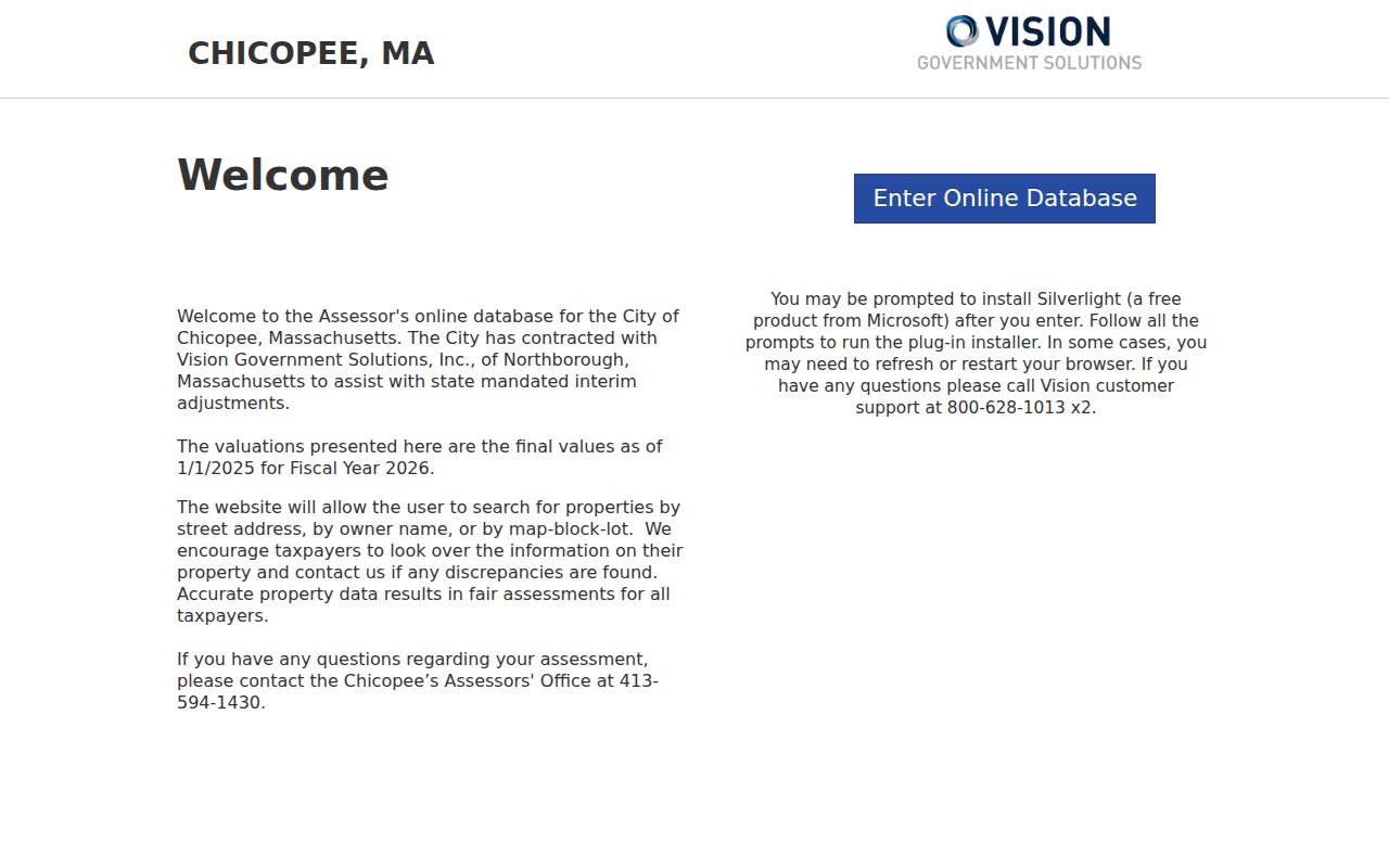
The Vision screen illustrates why Chicopee ZIP work proceeds address by address. It offers parcel-oriented search modes, not a documented ZIP export or a list of people living in a delivery area.
Chicopee ZIP Codes Are Not Parcel Lines
ZIP boundaries and Chicopee city limits answer different questions. USPS routes mail for delivery efficiency. The Chicopee GIS displays parcels, zoning, conservation data, historic properties, and other municipal layers. An address near an edge may need both checks. Nearby 01040 and 01041 belong to Holyoke, 01069 is in the adjacent Springfield area, and 01096 is Wilbraham, so a regional postal result should never be used to redraw Chicopee.
MassGIS ZIP polygon data is useful for visualizing broad service areas. Its documentation also warns that USPS does not maintain an official ZIP map. Read those polygons as a map layer only, not as the legal answer to a street address or neighborhood boundary.
The MassGIS reference reinforces the split between a visual ZIP layer and a current delivery decision. The current USPS result and Chicopee parcel record should be kept as separate findings.
For a city-edge question, write down both results: the USPS street-and-ZIP response and the GIS parcel location. Then check the Hampden County records custodian that serves the property. This two-part check prevents a nearby Holyoke, Springfield-area, or Wilbraham ZIP from being treated as a Chicopee parcel simply because regional delivery geography is close by.
Chicopee ZIP Code Terms to Keep Straight
Postal shorthand can obscure what a record actually identifies. These terms help separate delivery information from the geographic and title records used in Chicopee research.
- ZIP code
- A five-digit delivery code used by USPS to sort and route mail. It is not a parcel identifier.
- ZIP+4
- The five-digit ZIP plus four added digits that refine delivery sorting for a smaller address group.
- PO-box ZIP
- A code used for post-office boxes. It can describe where mail is collected, not a physical residence.
- Unique ZIP
- A code assigned to one organization or large receiver. No Chicopee unique ZIP is claimed here.
- Carrier route
- A USPS delivery sequence within an area. It is useful postal context, not a city neighborhood boundary.
For Chicopee records, the strongest combination is street address plus parcel ID for location, then a deed's legal description for title history. The ZIP code directory adds delivery context without replacing either one.
Historical ZIP work has a separate limit. City directories, maps, and early vital records often predate modern ZIP use or omit a street address altogether. In that situation, search the printed street and village label first, then compare the result to the map and parcel history. Adding a present-day ZIP too early can hide the wording that makes an old Chicopee record findable.
A clean research note can therefore hold four parts: the exact printed address, the current USPS delivery result, the Chicopee parcel ID, and the deed or map reference. Those entries preserve both the postal answer and the record geography. They also make it clear when a ZIP code directory supplied a delivery check rather than a name or occupancy finding.